Click and scroll to move around and zoom in on this map of Brentwood high street. You can use the slider to go back in time, or click on a building to learn more about it.
What's this site about?
Welcome to the Brentwood History Project, a place to delve into the rich tapestry of Brentwood's history, capturing its essence, milestones, and the remarkable individuals who have shaped its narrative.
While this project currently centers exclusively on Brentwood itself, you may encounter mentions of neighbouring areas like Great Warley, Brook Street, South Weald, and Ingrave among others. These references serve to enhance Brentwood's story, offering a broader context and paving the way for potential future expansions into these surrounding villages. The deliberate focus on Brentwood ensures a thorough and detailed exploration, steering clear of distractions and allowing for a more comprehensive understanding of this town's heritage.
Through this website, the aim is to breathe life into the structures, to give voices to the bricks and stones, and show the hidden faces behind the shadows of history. Please enjoy this journey through time, as we uncover the heartbeats of Brentwood's past, etched into its very streets and buildings.
What is Brentwood's story?
Discover Brentwood's History
Read the story of how Brentwood was founded, grew into a market town, and became the place it is today.
Visit the Brentwood Museum
Discover Brentwood's hidden gem, hundreds of years of human history and culture in our small cottage museum with special reference to Brentwood.
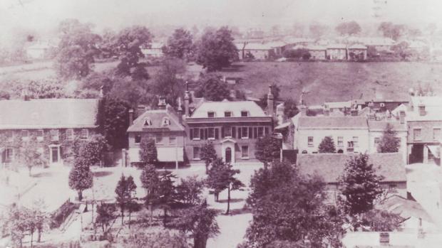
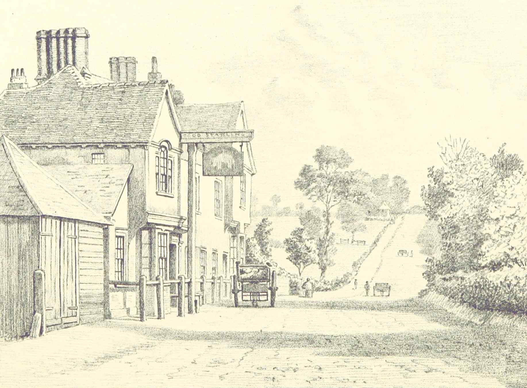
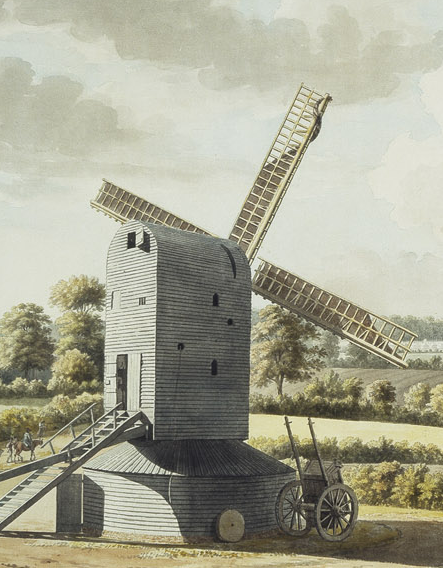
See Brentwood in different images
Explore Brentwood's vibrant past through a curated collection of historic images, capturing the essence and evolution of this town.
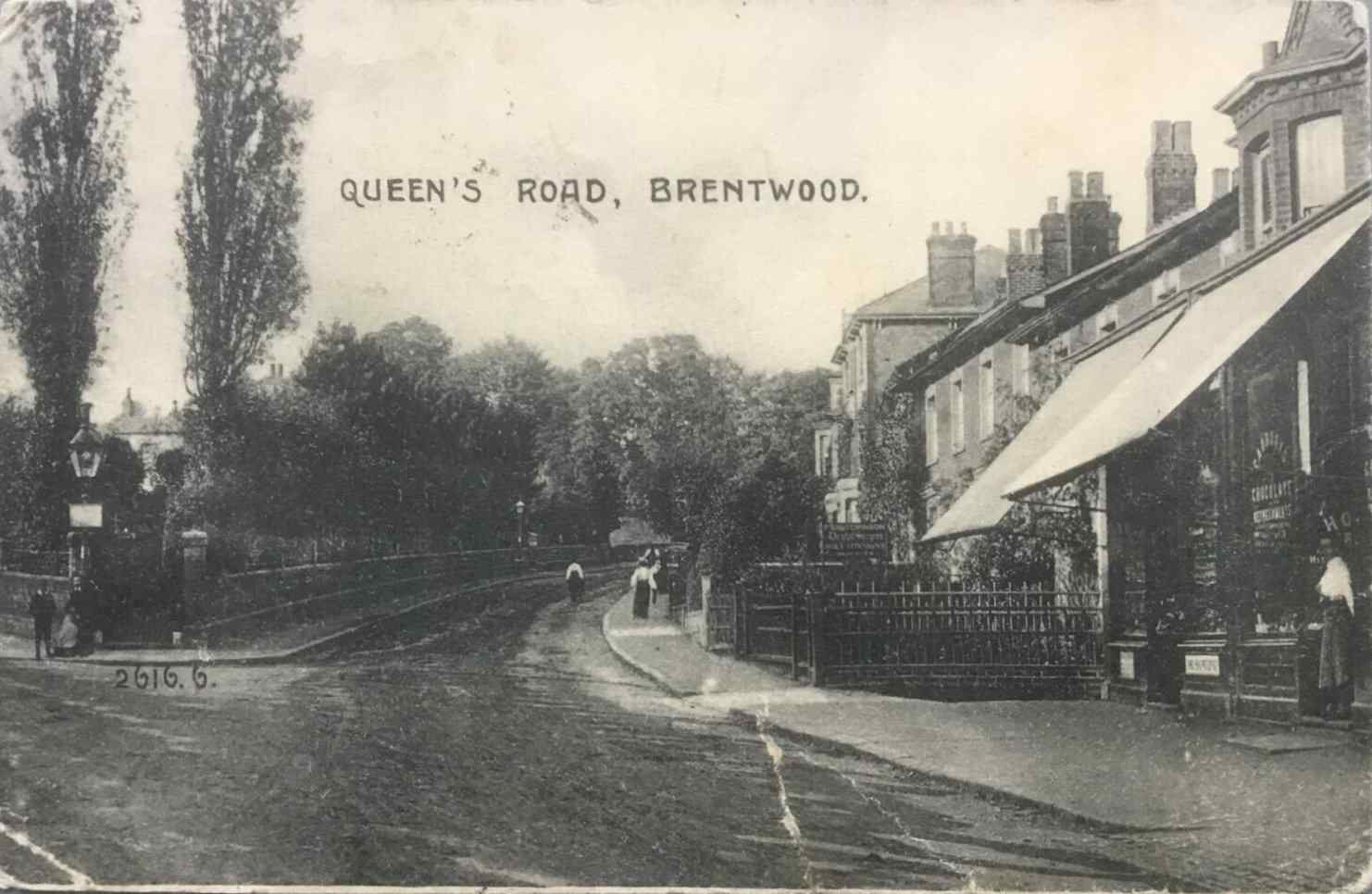
Postcards
See how Brentwood has changed through a range of 19th and 20th century postcards showing the town.
Learn more